Death Valley National Park
 OPEN YEAR-ROUND
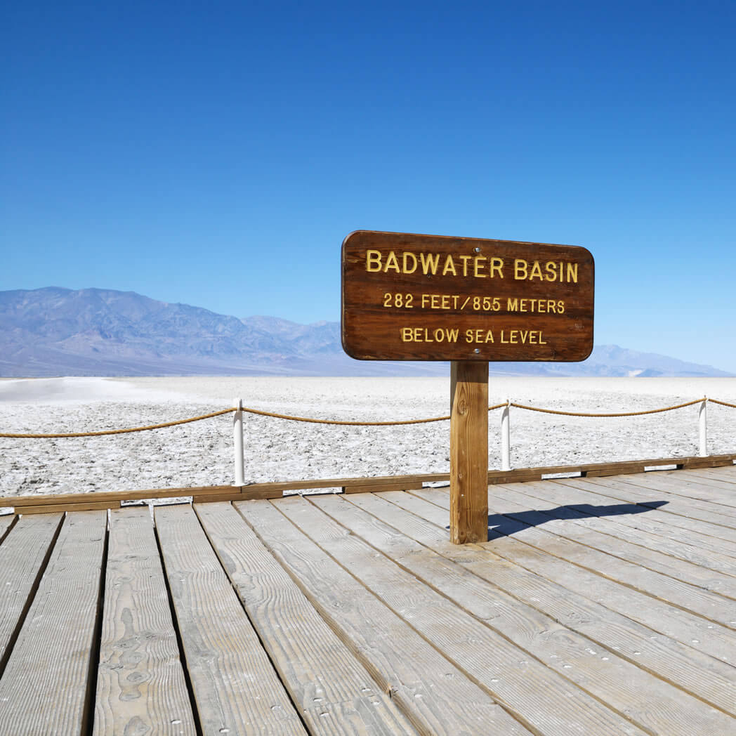
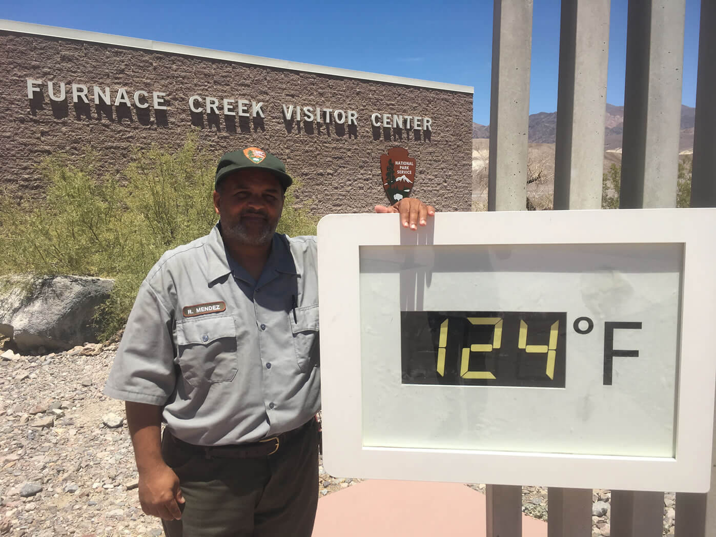
Regardless of when you come, Death Valley is always open. Death Valley, the largest national park in the lower 48 states, is a fascinating study in topographic contrasts. Marvel at Telescope Peak towering 11,049 feet, while Badwater, North America’s lowest point, sits at 282 feet below sea level. Death Valley is a popular destination during the spring desert wildflower bloom. Summer temperatures can reach 120 degrees Fahrenheit. For more info, visit Death Valley Chamber of Commerce.
Death Valley National Park is 5,216 square miles (3.3 million acres) and is the largest National Park in the lower 48 states.
DEATH VALLEY AT A GLANCE
In 1849, a party of pioneers nearly perished while attempting to cross this desert valley. Upon being rescued, one turned and exclaimed, “Goodbye, Death Valley,” so naming it. Today, a million people say hello to Death Valley National Park, each year. The national park is the largest in the lower 48 states at 3.3 million acres (1.3 million hectares), and with the southeastern corner of Inyo County, comprises more than half the landmass of the county.
Death Valley attracts photographers, rock hounds, hikers and geologists to its fascinating and austere landscape.
Favorite sights include the nine-mile, looping Artist’s Drive with its many-colored rock formations. Popular trails pass through the Golden Canyon, Mosaic Canyon and Wildrose Peak trail. Each of these leads to amazing views and other-worldly formations. The Badwater Basin salt pan is the lowest point in North America — 282 ft/86 m — below sea level, and the highest point in the national park is Telescope Peak at 11,049 ft./3,315 m.
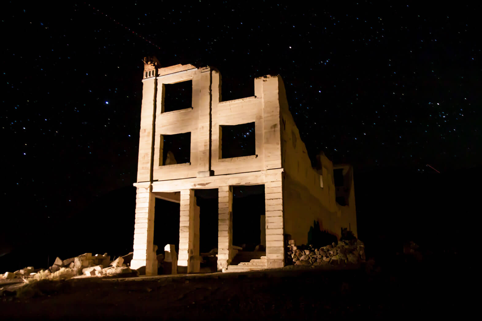
Death Valley has more than its share of intimidating places: the Funeral Mountains, Rhyolite Ghost Town, Badwater, Stovepipe Wells, Salt Creek and Furnace Creek, among them. Yet, despite these notorious-sounding names, several species of wildlife inhabit the park and it’s so popular that for much of the year (late fall to late spring) available rooms and campsites are far and few between.
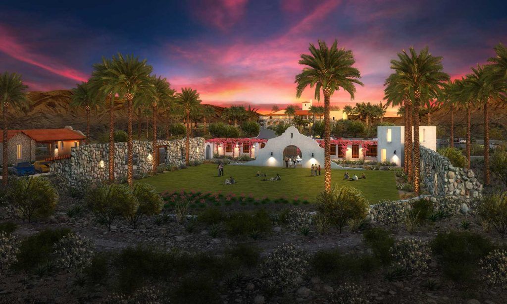
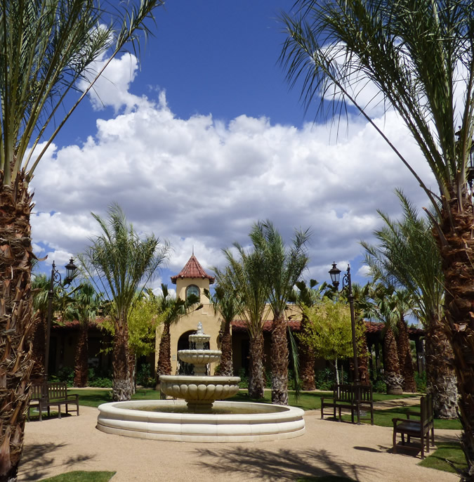
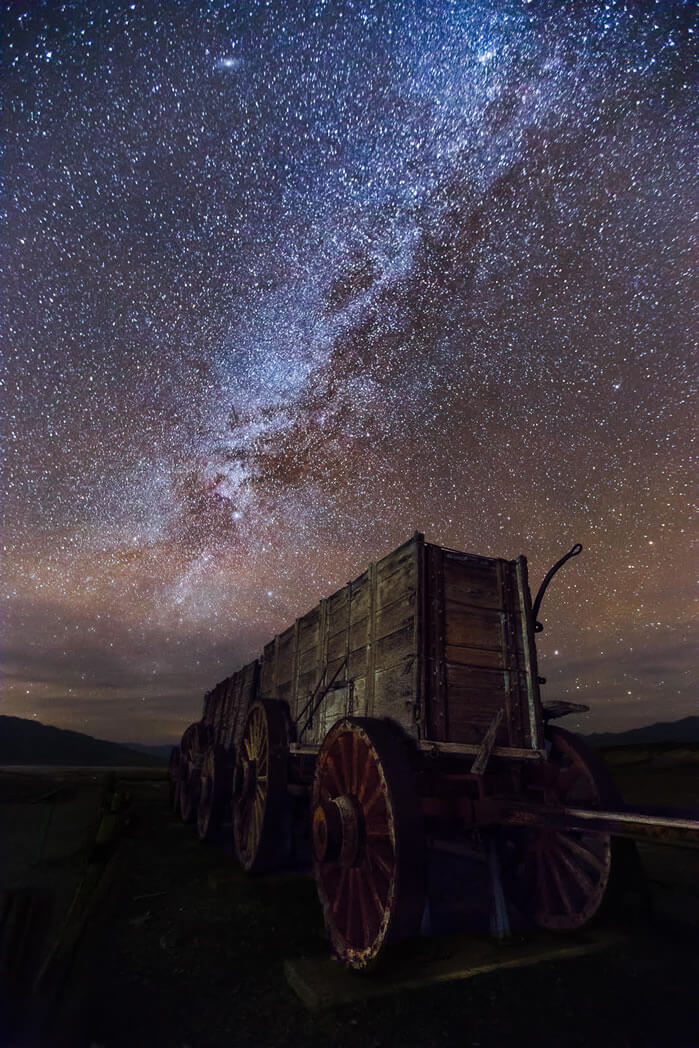
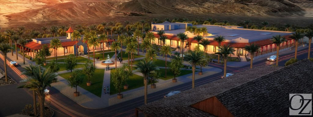
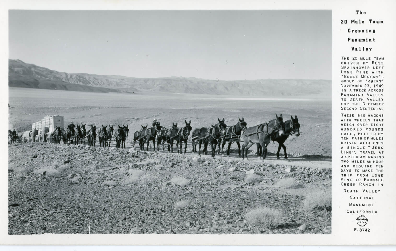
Park lodging centers at the Oasis (formerly Furnace Creek Resort) whose famous Inn was opened in 1927 by the Pacific Coast Borax Company of 20 Mule Team fame. The Furnace Creek Inn was meant to save the company’s failing railroad. As the value of mining faded, so did the railroad, but the Furnace Creek Inn thrived. It is today among the most highly sought and refined oasis to be found within the National Park System. Nearby The Ranch is a popular destination for families and RV campers. The park’s visitor center is located here and the Borax Museum displays artifacts, Borax wagons and other historic equipment from the park’s past.
Each season in Death Valley has its attraction. In winter, snowflakes tumble until they evaporate near the valley floor; near the end of winter, showy blooms of wildflowers appear; and in summer, temperatures often reach 120° F/49° C.
In 1849, a party of pioneers nearly perished while attempting to cross this desert valley. Upon being rescued, one turned and exclaimed, “Goodbye, Death Valley,” so naming it. Today, a million people say hello to Death Valley National Park, each year. The national park is the largest in the lower 48 states at 3.3 million acres/1.3 million hectares, and with the southeastern corner of Inyo County, comprises more than half the landmass of the county.
Death Valley attracts photographers, rock hounds, hikers and geologists to its fascinating and austere landscape. Favorite sights include the nine-mile, looping Artist’s Drive with its many-colored rock formations. Popular trails pass through the Golden Canyon, Mosaic Canyon and Wildrose Peak trail. Each of these leads to amazing views and other-worldly formations. The Badwater Basin salt pan is the lowest point in North America (282 ft/86 m) below sea level, and the highest point in the national park is Telescope Peak at 11,049 ft./3,315 m.
Death Valley has more than its share of intimidating places: the Funeral Mountains, Rhyolite Ghost Town, Badwater, Stovepipe Wells, Salt Creek and Furnace Creek, among them. Yet, despite these notorious-sounding names, several species of wildlife inhabit the park and it’s so popular that for much of the year (late fall to late spring) available rooms and campsites are far and few between.
Park lodging centers at the Furnace Creek Resort whose famous Inn was opened in 1927 by the Pacific Coast Borax Company of Twenty Mule Team fame. The Furnace Creek Inn was meant to save the company’s failing railroad. As the value of mining faded, so did the railroad, but the Furnace Creek Inn thrived. It is today among the most highly sought and refined oasis to be found within the National Park System. Nearby Furnace Creek Ranch is a popular destination for families and RV campers. The park’s visitor center is located here and the Borax Museum displays artifacts, Borax wagons and other historic equipment from the park’s past.
Each season in Death Valley has its attraction. In winter, snowflakes tumble until they evaporate near the valley floor; near the end of winter, showy blooms of wildflowers appear; and in summer, temperatures often reach 120° F/49° C.
Stovepipe Wells
A motel, restaurant, pool, campground with RV sites and convenience store and gas station are located here. Old charcoal kilns and the ghost town of Leadfield are worth visiting.
Scotty’s Castle
a Moorish mansion, built by wealthy Chicago businessman Albert Johnson, is a must stop at the north end of Death Valley for anyone who values interesting architecture, interiors and tales. This remarkable retreat comes with a great story that came from an old miner’s gift for wild exaggeration.
Armargosa Opera House
Marta Becket was an accomplished, touring 42-year-old dancer when she and her husband stopped in Death Valley Junction in 1967 to repair their car. While waiting for the work to be completed, she strolled down the street and came upon an abandoned adobe theater with interesting architectural bones. She rented the theater, began painting its walls and ceilings with fantastic, fanciful murals and has been performing for appreciative audiences, since. Now 83, Marta is still dancing and says, “I am grateful to have found the place where I can fulfill my dreams and share them with the passing scene…for as long as I can.” This authentic and artistic slice of American life is worth going out of the way to experience.
Panamint Springs
They really mean it, when they say “Last Gas” at Panamint Springs at the national park’s western boundary. You’ll drive 30 miles before you find the next gas or water. Remember, you’re in Death Valley! Continue east on CA-190 to cross Towne’s Pass into Death Valley, south on CA-178 to Trona and west on CA-190 to Olancha and Lone Pine (CA-136).
This desert town to the southeast of the national park was once a railroad center and rest area for local miners. It still serves as a service hub with food, gas, lodging, supplies and RV sites.
Named after Paiute-Shoshone Indian chief Tecopa was a hard-rock mining camp in the late 1800s, though today, it is best known for its hot springs. Natural hot water is contained in separate bath houses for men and women, operated by a concessionaire with RV sites and a small store. A surprising sight in this desert is Grimshaw Lake, a favorite of water skiers. Nearby marshes attract migratory birds and were a stopping point along the Old Spanish Trail, a National Historic Trail that passes through Tecopa. A treat five miles south of Tecopa is China Ranch where you can buy all kinds of treats made from dates… date shakes, date baked goods and take your date on a hike beside the federally recognized Wild and Scenic Armargosa River. At Dumont Dunes, 4-wheelers, dune buggies and dirt bikes get airborne in the dunes and take more terrestrial tours through scenic canyons.
Stunning Sights and Scenes in Death Valley
Death Valley contains millions of acres of wild and scenic land. Tucked into that sprawling landscape are more than a few truly stunning sights, as outlined below.
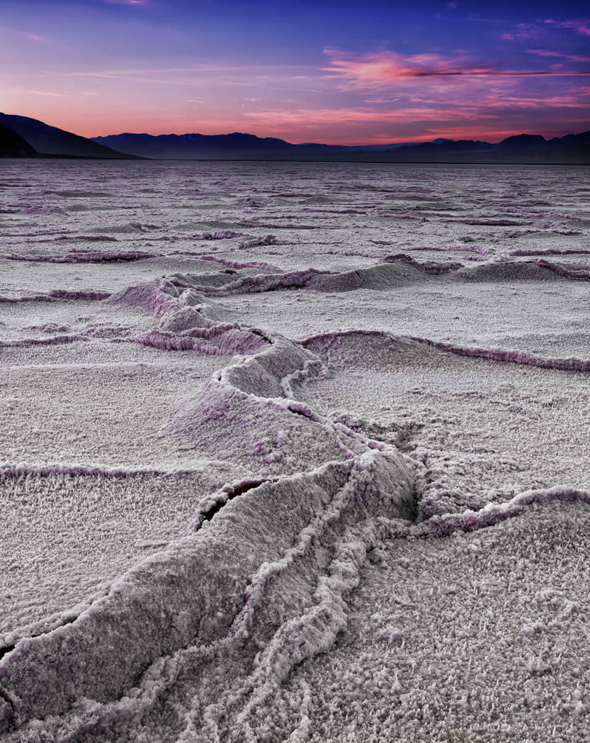
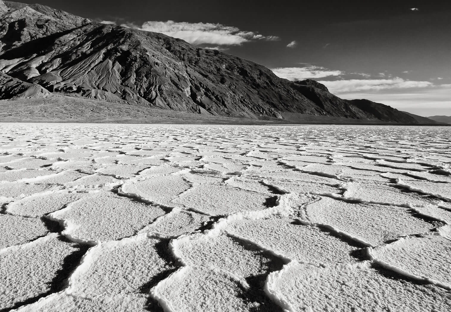
Badwater Basin Badwater is the site of the lowest place on land in North America, at 282 feet below sea level. The scene is much more than an elevation marker. Seeps create small pools of water that dramatically reflect the nearby black mountains. Telescope Peak, the highest point in Death Valley looms majestically, 11,000 feet above and across the valley. Located 17 miles south of Furnace Creek.
Dantes View Located at an elevation of 5,758 feet directly above the Badwater Basin is Dante’s View. This extremely scenic view spot provides vistas of almost all of Death Valley. One can look straight down to the Badwater Basin and directly across to the Panamint Mountains and Telescope Peak. Far off to the west, are seen the Sierra Nevada Mountains, and to the east, numerous desert mountain ranges of Nevada. Located 25 miles east and south of Furnace Creek. The last few miles of roadway are steep and narrow.
Zabriskie Point This viewpoint is accessed by a short drive and a steep short walk on a paved trail. The scene overlooks the beautifully eroded and colorful hills referred to as the badlands. Telescope Peak can be seen in the distance as well as the soaring peaks of the Funeral Range. Zabriskie Point is a favorite of photographers, providing perfect opportunities at sunrise and sunset. Located 2 ½ miles east Furnace Creek.
Golden Canyon Penetrating deep into Death Valley’s Black Mountains is aptly named Golden Canyon. Especially in the morning light, the canyon walls glow magically with a flaxen hue. Golden Canyon is a hike, but one can get an intimate feel for it by walking just a few feet past its mouth. More adventurous trekkers can choose among a number of longer hikes. Located two miles south of Furnace Creek.
Salt Creek One of the few places on the actual floor of Death Valley where water flows, Salt Creek meanders along the surface on and off for several miles. This unique environment also provides habitat for Death Valley’s only native species of fish, the Desert Pupfish. Visitors can follow a wooden boardwalk along the banks of this desert treasure on a self-guided .half mile nature walk. Located 13 ½ miles north of Furnace Creek, then a one mile graded dirt road.
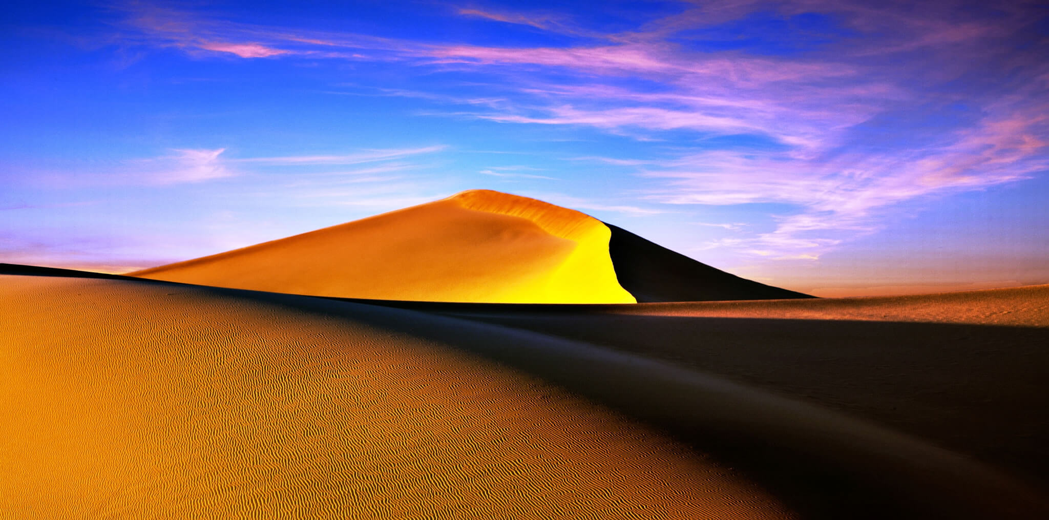
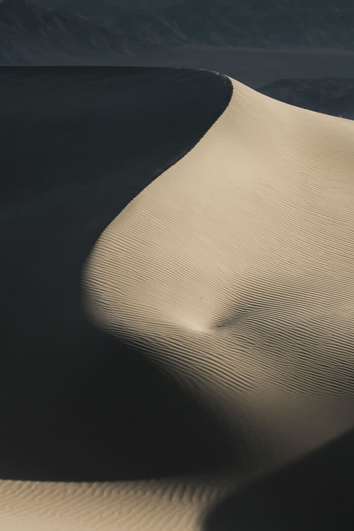
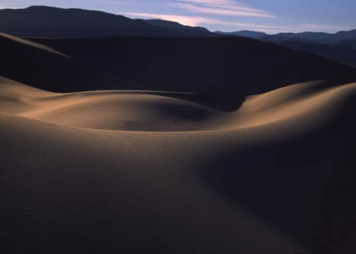
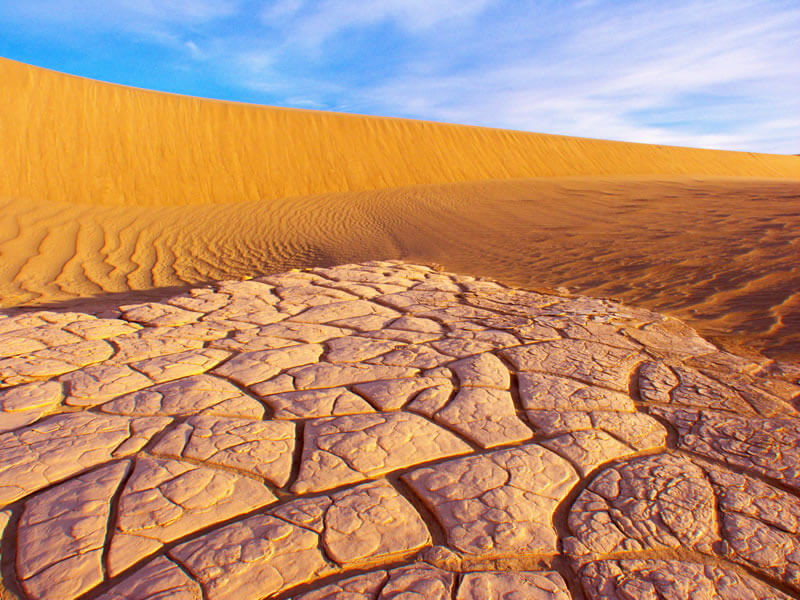
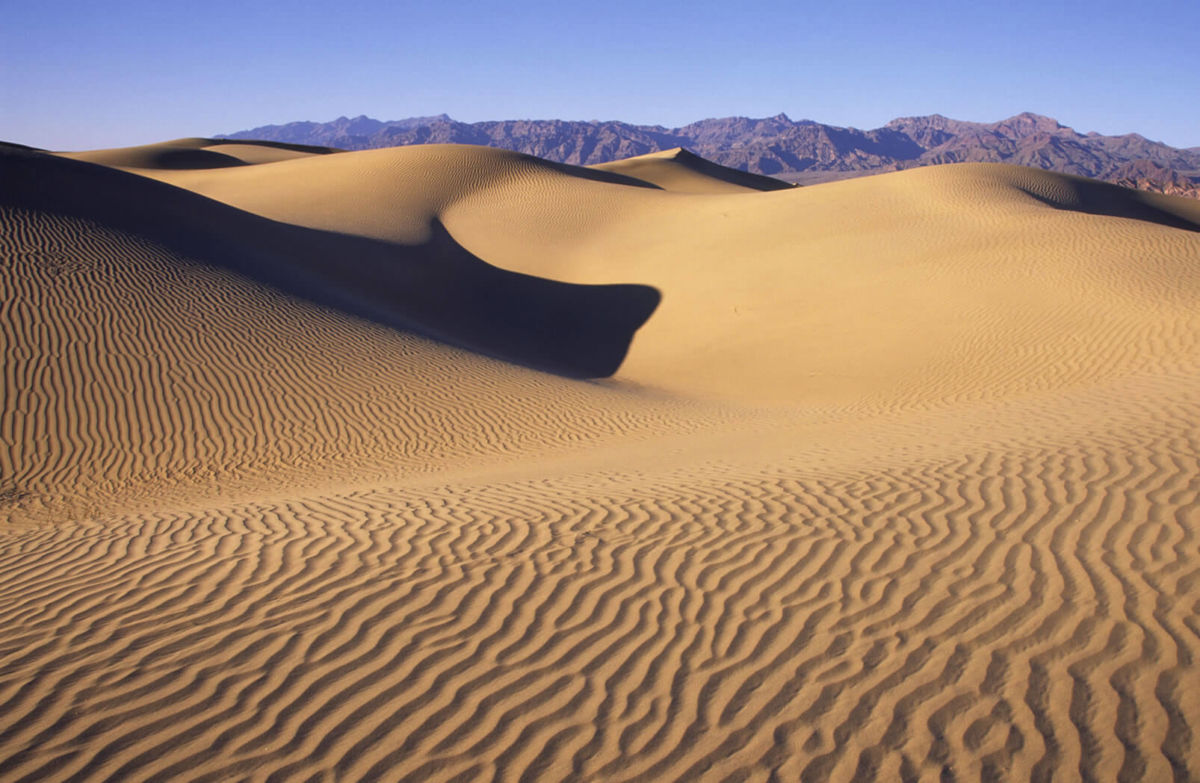
Mesquite Sand Dunes Just a few miles west of Stovepipe Wells Village lay one of Death Valley’s most popular attractions, the Mesquite Sand Dunes. Covering over 14 square miles, the dunes provide some of the most dramatic scenery in the Park. Sunrise and sunset are both great time to catch just the right shot. Watch for the signed turnout about 23 miles north and west of Furnace Creek.
Ubehebe Crater Most visitors are taken aback when they approach the yawning expanse of Ubehebe Crater for the first time. This “Maar” Volcano was created by a steam explosion as recent as only 300 years ago. 600’ deep and over a half mile across, visitors can take a steep path to the bottom (and back up), walk around its rim and simply stand at the edge of the parking area and take in the overwhelming scene. Located 57 miles north of Furnace Creek. The last five miles are on a narrow roadway.
Wildrose Charcoal Kilns The Death Valley area has a rich mining history. Silver, gold, borax and talc are just come of the minerals that have been mined here. The ten Wildrose Charcoal Kilns are located at 7000 feet high up in the Panamint Mountains in a Pinion Pine Forest. These nearly perfect pieces of architecture were built in 1877 to produce charcoal for nearby silver smelters. About 62 miles from Furnace Creek, the last three miles on a graded dirt road.
Artist Drive This scenic one0way, semi-loop paved road twists, winds, climbs and dips its way through some of the most colorful scenery in Death Valley. Highlight of the nine mile trip is the Artist Pallate, where hues of greens, purples, oranges, browns and yellows blend together in a kaleidoscope of color. Entrance to Artist Drive is located about 10 miles south of Furnace Creek
Dark Sky Designation
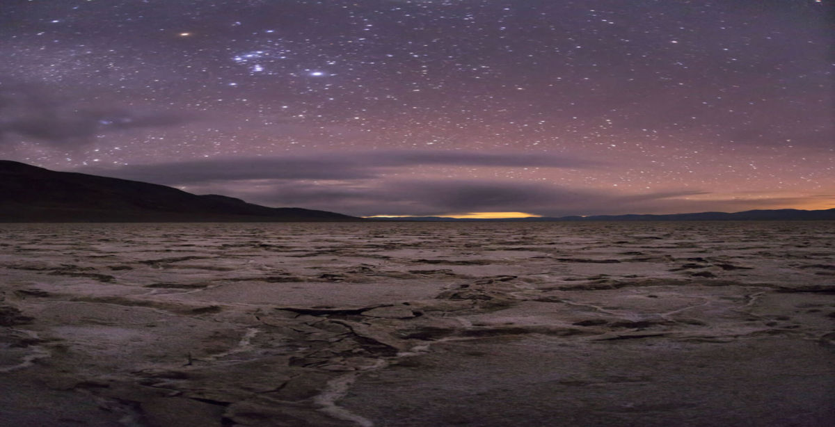
Death Valley offers some of the best stargazing in America. The International Dark-Sky Association has designated Death Valley National Park as a Gold Tier Dark Sky Park, the highest rating of darkness. Visitors can marvel at the night sky through telescopes on Friday and Saturday night with the Las Vegas Astronomical Society and the Riverside Astronomical Society. Photographers are also invited to meet up for night sky photography in prime park locations. Astrophotography experts and rangers will be on hand to assist newcomers to the art.
In February, the Death Valley Dark Sky Festival rangers and scientists will lead guided hikes to explore the features of Death Valley and the similarities to other places in the solar system. During the exploration fair at the Furnace Creek Visitor Center, visitors can talk to scientists, observe demonstrations, and participate in activities like solar system walks and solar viewing. Families are also encouraged to attend hands-on space science programs designed specifically for children.
Scientists from NASA’s Goddard Space Flight Center and Jet Propulsion Laboratory will present evening programs exploring the search for life on other planets. On Friday night, space scientist Giada Arney will discuss how NASA scientists examine life that exists in extreme environments to help understand the limits of life on Earth and better predict where life might be found on other planets. Or, for the more adventurous types, you can go explore nearby desertscapes and view the skies from there on your own.
In the process of protecting the dark sky at night, DVNP has reduced its energy consumption and associated greenhouse gases. Being designated an International Dark Sky Park brings international recognition to the efforts the park has made towards protecting dark skies and provides an example to other parks of what is possible in light pollution prevention and energy savings. It also raises awareness of park staff, visitors, park concessions, and the surrounding community on the many attributes and importance of darkness at night.
Death Valley National Park is leading by example in preserving its dark night sky. Darkness has become a diminishing resource across our nation. By carefully following park-wide outdoor lighting guidelines, the safety, security and way finding of Park visitors and staff is provided with minimal to no impacts on Death Valley’s dark night sky.
Death Valley is the largest park in the world with the International Dark Sky Park designation with 3.4 million acres aimed at protecting and enjoying the dark night sky.
Racetrack Mystery
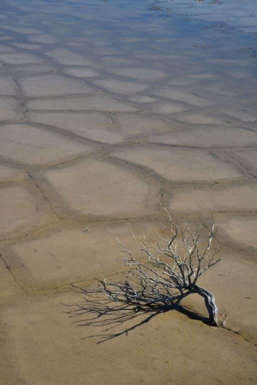
Racetrack Playa is home to one of Death Valley’s most enduring mysteries. Littered across the flat, dry surface of this dry lake, also called a “playa’, are hundreds of rocks – some weighing as much as 320 kilograms (700 pounds) – that seem to have been dragged across the ground, often leaving synchronized trails that can stretch for hundreds of meters.
What powerful force could be moving them? Researchers have investigated this question since the 1940s, but no one has ever seen the process in action – until now.
In a new paper published in the August 27, PLOS ONE, a team led by Scripps Institution of Oceanography, UC San Diego, paleobiologist Richard Norris report on first-hand observations of the phenomenon. Because the stones can sit for a decade or more without moving, the researchers did not originally expect to see motion in person. Instead, they decided to monitor the rocks remotely by installing a high-resolution weather station capable of measuring gusts to 1 second intervals and fitting 15 rocks with custom-built, motion-activated GPS units. (The Park Service could not let them use native rocks, so they brought in similar rocks from an outside source.) The experiment was set up in Winter 2011 with permission of the National Park Service. Then – in what Ralph Lorenz of the Applied Physics Laboratory at the Johns Hopkins University, one of the paper’s authors, suspected would be “the most boring experiment ever” – they waited for something to happen.
But in December 2013, Norris and co-author James Norris (of Interwoof and Richard’s cousin) arrived in Death Valley to discover that the playa was covered with a shallow pond no more than seven centimeters (three inches) deep. Shortly after, the rocks began moving.
“Science sometimes has an element of luck,” Richard Norris said. “We expected to wait five or ten years without anything moving, but only two years into the project, we just happened to be there at the right time to see it happen in person.”
Their observations show that moving the rocks requires a rare combination of events. First, the playa fills with water, which must be deep enough to allow formation of floating ice during cold winter nights but shallow enough to expose the rocks. As nighttime temperatures plummet, the pond freezes to form sheets of “windowpane” ice, which must be thin enough to move freely but thick enough to maintain strength. On sunny days, the ice begins to melt and break up into large floating panels, which light winds drive across the playa pool. The ice sheets shove rocks in front of them and the moving stones leave trails in the soft mud bed below the pool surface.
“On December 21st, 2013, ice breakup happened just before noon, with popping and cracking sounds coming from all over the frozen pond surface”, said Richard Norris. “I said to Jim, ‘This is it!’”
These observations were surprising in light of previous models, which had proposed hurricane-force winds, dust devils, slick algal films, or thick sheets of ice as likely contributors to rock motion. Instead, rocks moved under light winds of about 3-5 meters per second (10 miles per hour) and were driven by ice less than 5 millimeters (0.25 inches) – too thin to grip large rocks and lift them off the playa, which several papers had proposed as a mechanism to reduce friction. Further, the rocks moved only a few inches per second (2-6 m/minute), a speed that is almost imperceptible at a distance and without stationary reference points. “It’s possible that tourists have actually seen this happening without realizing it,” said Jim Norris. “It is really tough to gauge that a rock is in motion if all the rocks around it are also moving”.
Individual rocks remained in motion for anywhere from a few seconds to 16 minutes. In one event, the researchers observed that rocks three football fields apart began moving simultaneously and traveled over 60 meters (200 feet) before stopping. Rocks often moved multiple times before reaching their final resting place. The researchers also observed rock-less trails formed by grounding ice panels – features that the Park Service had previously suspected were the result of tourists stealing rocks.
“The last suspected movement was in 2006, and so rocks may move only about one millionth of the time,” said Lorenz. “There is also evidence that the frequency of rock movement, which seems to require cold nights to form ice, may have declined since the 1970s due to climate change.”
Richard and Jim Norris, and co-author Jib Ray of Interwoof started studying the Racetrack’s moving rocks to solve the “public mystery’ and set up the “Slithering Stones Research Initiative” (“Science for the fun of it”) to engage a wide circle of friends in the effort. They needed the help to repeatedly visit the remote dry lake, quarry rocks for the GPS-instrumented stones, and design the custom-built instrumentation. Ralph Lorenz and Brian Jackson (of the Department of Physics, Boise State University), in contrast, started working on the phenomenon to study dust devils and other desert weather features that might have analogs to processes happening on other planets. “What is striking about prior research on the Racetrack is that almost everybody was doing the work not to gain fame or fortune, but because it is such a neat problem”, says Jim Norris.
So is the mystery of the sliding rocks finally solved?
“We documented five move events in the two and a half months the pond existed and some involved hundreds of rocks”, says Richard Norris, “So we have seen that even in Death Valley, famous for its heat, floating ice is a powerful force driving rock motion. But we have not seen the really big boys move out there….does that work the same way?”
Death Valley National Park wants to remind people that the Racetrack is located in a remote area of the park and road conditions are variable at best, requiring high clearance vehicles and heavy duty tires. Do not attempt a trip to the Racetrack without a plenty of fuel and water. There is no cell phone service in the area. Be prepared for the possibility of spending the night if your vehicle becomes disabled. A more easily-accessible location to observe the tracks of sliding stones is the Bonnie Claire playa east of Scotty’s Castle–between the park boundary and Highway 95. The south shore of the playa runs right along the north side of Highway 72. The area is administered by the Bureau of Land Management. There is abundant evidence of sliding stones at this playa, which is believed to experience the same rock-moving conditions as the Racetrack.
Heat Tips
Enjoy The Heat
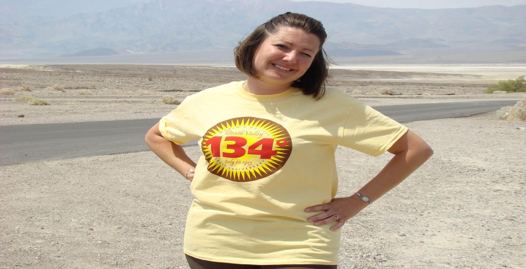
Death Valley is the hottest place on Earth. In the summer months (May-September) temperatures average over 100°F (38°C), and often exceed 120°F (49°C). The world’s hottest temperature, 134 °F was recorded here in 1913.
Death Valley National Park, however, is perfectly safe to visit in the summer with some caution.
Drink and carry plenty of water: Carry with you and drink at least one gallon (4 liters) of water per day to replace loss from sweat, and drink more if you are active. Fluid and electroyte levels must be balanced, so have salty foods or sports drinks too.
Travel prepared to survive: Stay on paved roads in summer. If your car breaks down, stay with it until help comes. Carry extra drinking water in your car in case of emergency.
Watch for signs of trouble: If you feel dizzy, nauseous, or get a headache, get out of the sun immediately and drink water or sports drinks. Dampen clothing to lower body temperature. Be alert for symptoms in others. Heat illness can be severe and even deadly.
Most visitors in the summer choose mostly to tour by car. The main points remain open, but it is highly recommended to stay on paved roads and close to your vehicle.
