Inyo County Offers 14,000-Foot Peaks, Death Valley, Glaciers, Fishing, Hiking And Exploring Galore

BIG PINE — Inyo County is a place of extremes.

* You can hike the highest point in the contiguous 48 states — Mt. Whitney at 14,505 feet.

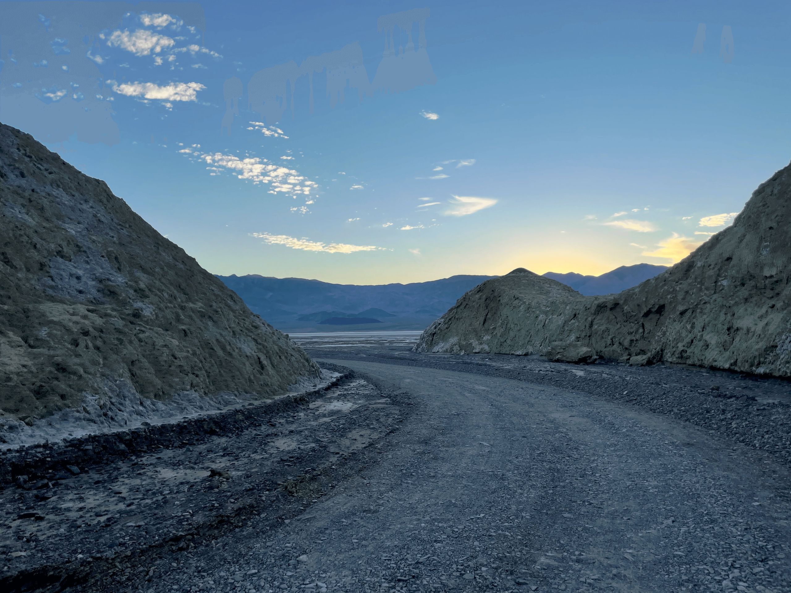
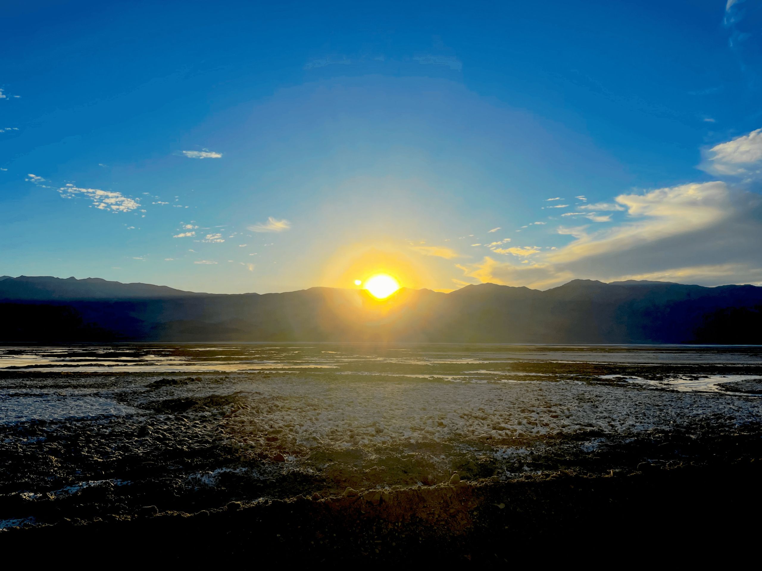
* You can walk the lowest point in North America — the salt flats of Death Valley’s Badwater at 282 feet below sea level.

* You can take in the world’s oldest single living thing — the Medusa bristlecone pine at 4,853 years.

* You can work your way across the largest glacier in the Sierra — the Palisades at 14,000 feet.

* You can experience the place of the consistently hottest air temperature in the world — Furnace Creek in Death Valley — that also recorded the world record of 134 degrees.

* The 15-mile distance from Telescope Peak in Death Valley at 11,043 feet and Badwater at minus 282 feet is the largest escarpment or continuous steep slope in the United States.

* Ten of California’s 12 peaks that exceed 14,000 feet are in Inyo County.

* Owens Valley that is the heart of Inyo County is the deepest valley in the United States going from mountain peaks in excess of 14,000 feet to the valley floor at 4,000 feet.

* There are two mountain ranges exceeding 14,000 feet — the Sierra and White Mountains.

Then there are remote sand dunes, alpine meadows, glacier fed lakes, desert canyons, imposing mountain summits and some of the best hiking, fishing, backroad excursions, and hunting that California has to offer.

Inyo County has only 18,970 residents — about 3,000 more residents than Ripon.

With 10,227 square miles it has one of the lowest population densities for counties in California at one person per 1.85 square miles.

Compare that to San Joaquin County with one-ninth the area of 1,426 square miles and 789,410 people or 553.5 residents per square mile.

If you like wide open spaces and not coming across a lot of people while you are out wandering, then Inyo County is the place for you.

Bishop is the largest community with 3,872 residents and the only incorporated city.

South of Bishop is Lone Pine, the gateway to Mt. Whitney and home to the Museum of Western Film History that is a nod to the slew of western movies and TV series filmed in the nearby Alabama Hills.

The county seat is Independence with 761 residents. It’s home to what could truly be called an honest-to-goodness old-fashioned Fourth of July celebration every Independence Day.

Inyo County — besides being able to brag about having both the highest and lowest points in the continental United States — is the ninth largest county by area in the United States excluding those in Alaska.

It is California’s second largest county by land area after massive San Bernardino County at 20,105 square miles.

Outdoorsmen sing the praises of Inyo whether it is for fishing, hunting or exploring backroads in high clearance 4-wheel drive vehicles.

There are also dozens upon dozens of ghost towns requiring 4-wheel drive or hiking to reach.

My love affair with Inyo started 36 years ago on a racing bicycle.

I loved being able to pedal long distances often without a power pole or car in sight along roads that lead into the White Mountains, up into the Eastern Sierra and the ranges in and around Death Valley.

Last year, I completed my 39th visit to Inyo County.

On the most recent visit, it was borderline nuts in the opinion of some.

One trip included hiking Telescope Peak “The Roof of Death Valley” at 11,043 feet, hiking Wildrose Peak at 9,064 feet, hiking Mt. Whitney at 14,505 feet, making my way up to below the Palisades Glacier just below 14,000 feet, night hiking to the remote Panamint Sand Dunes over a four-mile stretch of desert floor and hiking among the bristlecone pines all in six days.

You don’t have to get as carried away.

Death Valley, for starters, isn’t a great place to go this time of year for obvious reasons. You are limited to what you can do in the heat.

When it is 120 degrees, the valley floor temperature can often top 180 degrees.

My summer trips to the national park concentrated on hiking the peaks in the Panamint Range that snow prevented me from doing during November trips.

I also tossed in the night hike making sure I was through by mid-morning as the thermometer hit 105 degrees.

If you do opt to try the mountain hikes, it is a good time to do so.

The temperature is three to five degrees lower with every thousand feet of gain meaning it never gets above 95 degrees on hikes to the top of Telescope or Wildrose. You also only have to worry about snow and ice. Much of Wildrose is in shade. The opposite is true of Telescope.

The views of Death Valley, the Great Basin, the Sierra, and Mt. Whitney are incredible.

I rough it at Stovepipe Wells Resort where the least expensive accommodation — a patio room — ideal for a couple or lone traveler will set you back $144 a night.

If you only have three days and want to see a variation in scenery with only one “big” day of hiking, then you might want to book a room in Big Pine.

From there it is less than 50 minutes to the Whitney Portal. If you’re not used to long day hikes with a significant gain of elevation it is still do-able but takes between 12 and 16 hours.

You will need a permit. Most were awarded during a lottery in the early spring but there are sometimes a few left, especially on Mondays through Thursdays. Go on to the forest service website for Mt. Whitney for details.

Sometimes the altitude will kick some people.

Of the four times I’ve tackled Mt. Whitney as a 22-mile day hike, I’ve hit serious snow just once in the summer.

The biggest problem was on one hike to the peak when I encountered winds with 40 mph gusts just above 12,000 feet as a weak storm front hit the Sierra. It was chilly.

That said the cool thing about Mt. Whitney is that no matter where you stop to catch your breath, the scenery is incredible. The drawback is the people. There’s way too many with about 300 allowed on any given day.

While it isn’t quite Yosemite, it is still a lot of people.

Glacier Lodge Road goes out of Big Pine. And while a hike to the namesake glaciers at 14,000 feet might be a bit too much, hikes to the seven glacier-fed lakes are do-able for most people.

And if that isn’t your forte, a pack service offers horseback rides into areas near the glacier lakes.

The Bristlecone Pine Forest is also out of Big Pine but to the east.

There is a visitors’ center and a short 20- minute loop for those who don’t want to go too far to see the world’s oldest single living things or a two- to four-hour route that will take you past Medusa — the oldest of them all.

You can take a dirt road to another marked trail that will lead you past the biggest bristlecone pine in the forest.

It is also the route to the trail head to the hiking trail that goes up White Mountain Peak — one of California’s “14s” as in mountains with summits 14,000 feet or higher.

By chance, 10 of the 12 “14s” are in Inyo County with three of the others in neighboring Fresno County. The 16th is Mt. Shasta.

I book a room at the Bristlecone Manor Motel. At $109 night it is more than reasonable as all rooms come with a kitchenette. It is also part of a general store and gas station.

The only drawback to Big Pine is if you want to dine out and don’t want BBQ you’ve got to drive some 20 minutes to Bishop.

Also if hiking all the time isn’t your thing, there is the Manzanar Japanese Internment Camp historic site nine miles north of Lone Pine.

There is also the cowboy movie museum in Lone Pine that hosts a popular western movie festival every year. Dozens upon dozens of classic westerns were filmed in the Alabama Hills west of Lone Pine off the Mt. Whitney Portal Road.

Inyo County is six to seven hours from the 209.

More information on Inyo County recreation is available at: www.theothersideofcalifornia.com or www.bishopvisitor.com.

##
Article posted on Escalon Times
https://www.escalontimes.com/209-living/inyo-land-extremes/